Fire Whirls vs. Fire-Generated Tornadoes
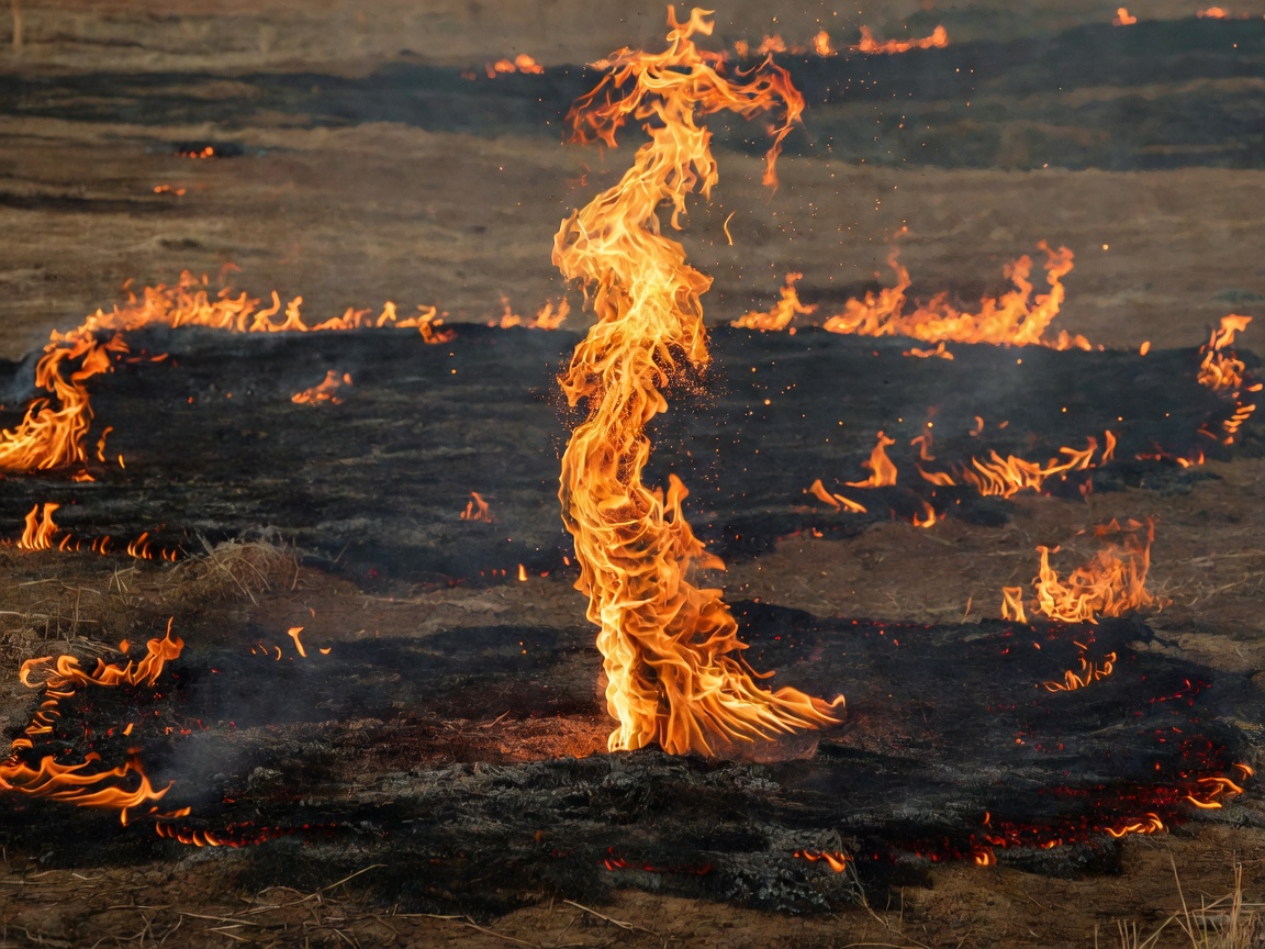
Any photograph of a spinning column of flame and ash looks dramatic, leading headlines to label two-meter brushfire eddies and half-kilometer destructive vortices with the identical term "firenado." In atmospheric dynamics, the distinction mirrors the difference between a sunny-day desert dust devil and a supercell tornado.
Fire whirls are boundary-layer phenomena. Ambient horizontal wind shear over ridges or flanking flame fronts tilts vertically into a buoyant thermal plume, stretching angular momentum much like an ice skater pulling arms inward. Most measure 1 to 30 meters across, remain disconnected from clouds overhead, and dissipate within minutes as fuel geometry shifts.
Fire-generated tornadoes (pyrotornadoes) require deep moist convection overhead—specifically a cumulonimbus flammagenitus (pyrocumulonimbus, or pyroCb). When combustion heat and released fuel moisture punch above the lifting condensation level and glaciate past −40 °C, latent heat of condensation vastly amplifies plume updraft speed. On 18 January 2003 near Canberra, Australia, and on 26 July 2018 during the Carr Fire in Redding, California, radar velocity scans documented rotating pyroCb updrafts extending over 11 km vertically that contracted into tornado-scale vortices. Post-event engineering surveys of the Carr Fire vortex documented debarked trees, scoured soil, and structural steel damage matching EF3 wind speeds exceeding 64 m/s (143 mph).
| Metric | Fire Whirl | Pyrotornado |
|---|---|---|
| Cloud Coupling | None (open plume) | Coupled to pyroCu / pyroCb |
| Core Width | 0.5 – 35 m | 150 – 800+ m |
| Duration | Seconds to ~5 min | 20 – 60+ min |
Two Engines of Volcanic Lightning
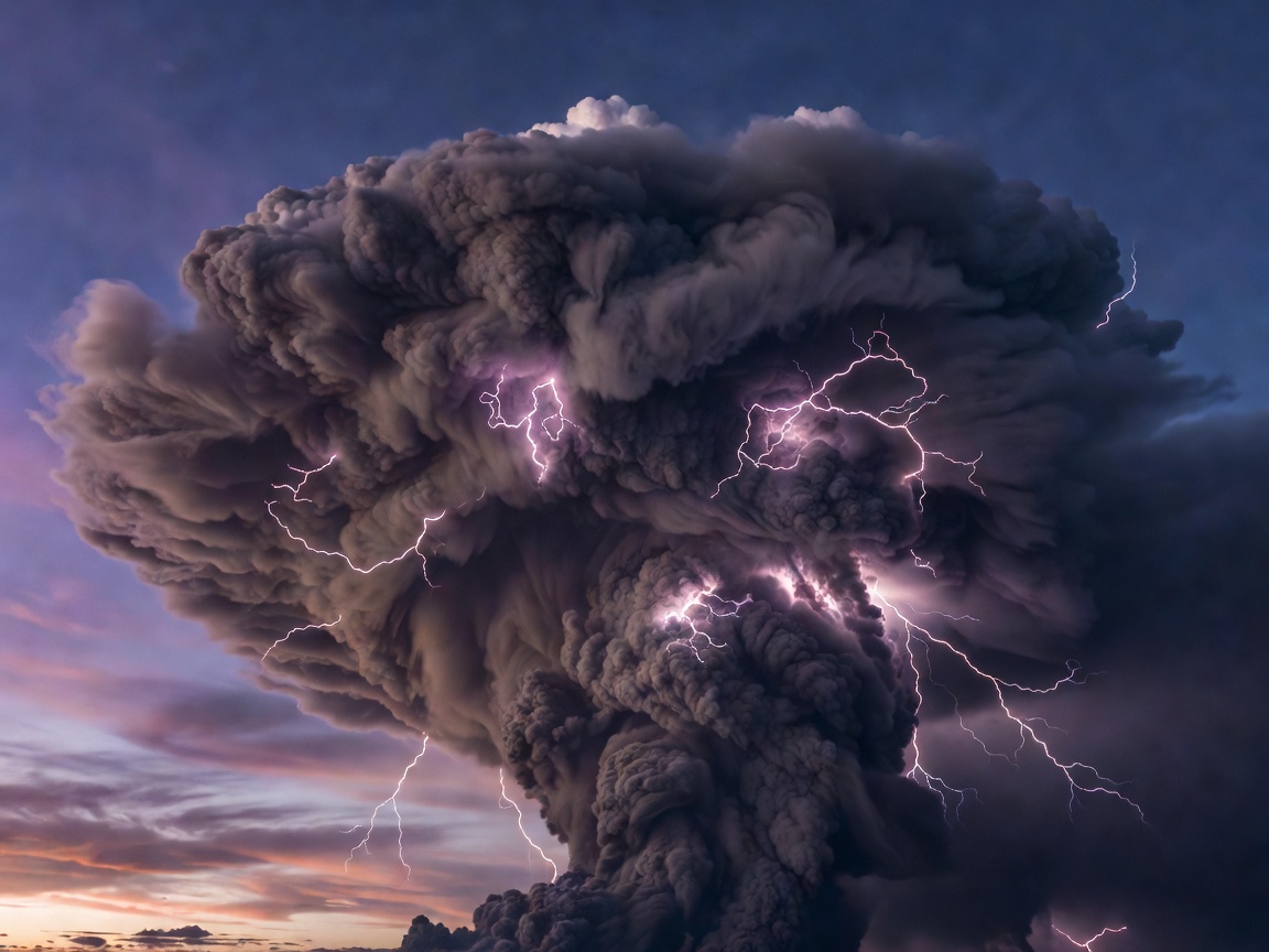
Long-exposure photographs from Calbuco (Chile, 2015), Taal (Philippines, 2020), and Sakurajima (Japan) reveal jagged electrical filaments threading opaque ash columns. Because cameras integrate light over several seconds, photographs make volcanic plumes look continuously incandescent, whereas high-speed video at 5,000 frames per second resolves discrete stepped leaders.
-
Lower-Column Silicate Charging
Immediately above the vent—well below the atmospheric freezing level—explosive magma fragmentation (fractoemission) ejects charged ions, while turbulent collisions between coarse lapilli and fine micron-scale ash transfer electrons via triboelectricity. Gravity separates heavy positively/negatively sorted grains from buoyant fine dust, triggering 10-to-300-meter sparks within seconds of eruption onset.
-
Upper-Plume Ice Electrification
Submarine and water-rich Plinian eruptions loft megatons of water vapor past 8–15 km altitude. Ash grains act as abundant ice-nucleating particles; rebounding collisions between graupel-coated tephra and pristine ice crystals generate multi-kilometer bolts—giving aviation warning centers immediate global radio confirmation of ash height even beneath cloud cover.